claims
Drone Mapping the Way of the Future for Insurance Companies

While there is no substitution for visiting the scene of an accident, there are instances where the collection of information and data must begin quickly. Drone mapping is an evolving technology that is assisting numerous insurance companies in preserving key details that were once lost as a result of delay. This article explains the latest technology and its recent advancements.
Drone mapping provides insurance companies with an easy, fast and accurate method of documenting a scene and preserving key details while also letting the process of clean-up and reconstruction begin as quickly as possible. Recently, Dronotec, a start-up company specializing in drone inspection for insurance companies conducted a case study to determine just how much money this drone mapping was saving insurance companies. Dronotec’s founder, Emilien Rose, worked as a loss assessor in France and Australia for 10 years and conducted assessments of about 8,000 claims. Rose believes that Dronetec and drone mapping can really save time and money for insurers.
For example, recently a fire in France consumed 5 acres of a vacation destination on the coast. Once the insurance company came in to assess the damages, they realized that the sheer size of the site posed quite a challenge. Moreover, so much of the property was damaged by the fire, inspectors could not enter the properties or inspect the roofs without the threat of personal injury. A plane attempted to capture photos but many of the photos were not clear or sharp enough to use. However, the loss adjuster recommend a drone to do the mapping of the scene. In about 10 minutes, the drone collected more than 300 geo-tagged photos flying about 180 feet over the property. The images were uploaded to a drone mapping program, and three hours later a 2-D map and 3-D model of the property and the damages were available. The high degree of accuracy of not only the photos but the mapping improved the likelihood of identifying the cause of the accident exponentially. And the insurance company’s team members were able to collaborate and review the mapping in one cloud-based space. In this one case, the use of drone mapping saved this French insurance company about €99,985,000 (or about $110,600,000).
The ability to quickly process claims is very helpful to insurance companies with large scale disasters that have many claims filed related to the same incident.
See, Drone Mapping the Way of the Future for Insurance Companies.
A Crash Course for the Personal Injury Lawyer
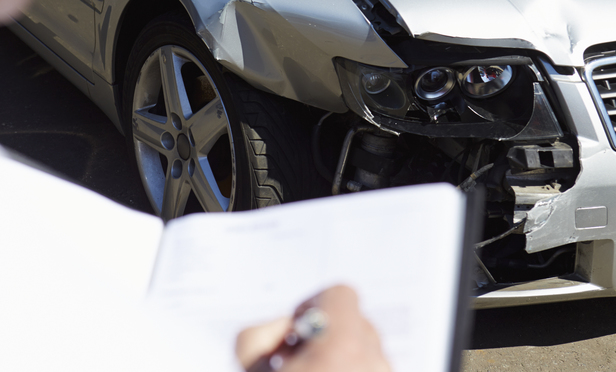
An article recently featured in The Legal Intelligencer highlights a number of important investigative steps for litigating personal injury matters. The authors recap instances where these minor but important moves made the difference in their case.
In your last 20 motor vehicle collision cases, how many times have you visited the scene of the crash or sought the drivers’ phone records? Once, twice … zero times?
These investigative steps should be second nature and common sense to the trial lawyer. Yet, many lawyers rarely visit the accident scene or pursue the driver’s phone records. Excuses are easy to make. Liability seems clear. There is no time to visit the scene. You can view the scene on Google Street View. The area is dangerous. Phone records are difficult to obtain without litigation. The case will settle quickly. Certainly, some cases are more clear than others, and the decision to forego these investigative steps can be justified. However, without a scene inspection or phone-record review, you will not know what you are missing. Or, even worse, what you are missing may come back to haunt you at trial.
